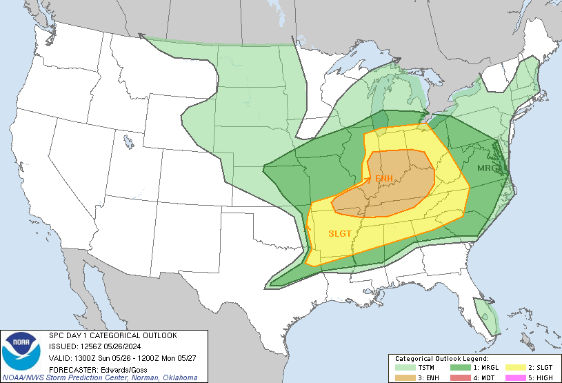
The image above shows the areas that are under a Slight risk of severe thunderstorms. These areas include the Skidaway Island area and most of eastern Georgia. Notice that the slight risk is delineated by a green line encircling the areas that have that risk. The risk extends from eastern Georiga, all of South Carolina, and most of extreme eastern North Carolina.
Most TV weather people are saying that we won't see that chance of rain very high for this afternoon; however, I think otherwise. I do think that we will see some rain even a couple of showers and thunderstorms. And those thunderstorms that develop may be strong to severe.
After looking at the models, I infered that most of the trustworthy models are indicating we will see some rain. The one variable that they are not in agreement is when the showers/thunderstorms will develop. They will mostly likely develop late this afternoon, mainly between 6 pm and 9 pm. If you have any outdoors plans for this evening, I would keep a close eye on the weather as a cold front moves through later this afternoon and this evening. One good tool to have to keep track of the weather is a NOAA Weather Radio. This can alert you when severe weather is near your location.
The good side to this chance of rain is we will see a very nice end of the weekend and beginning of next week with low humidities. Stay tuned to the Skidaway Island Weather Center and our blog for the latest weather information.

No comments:
Post a Comment